Data-driven decisions for
regenerative agriculture.

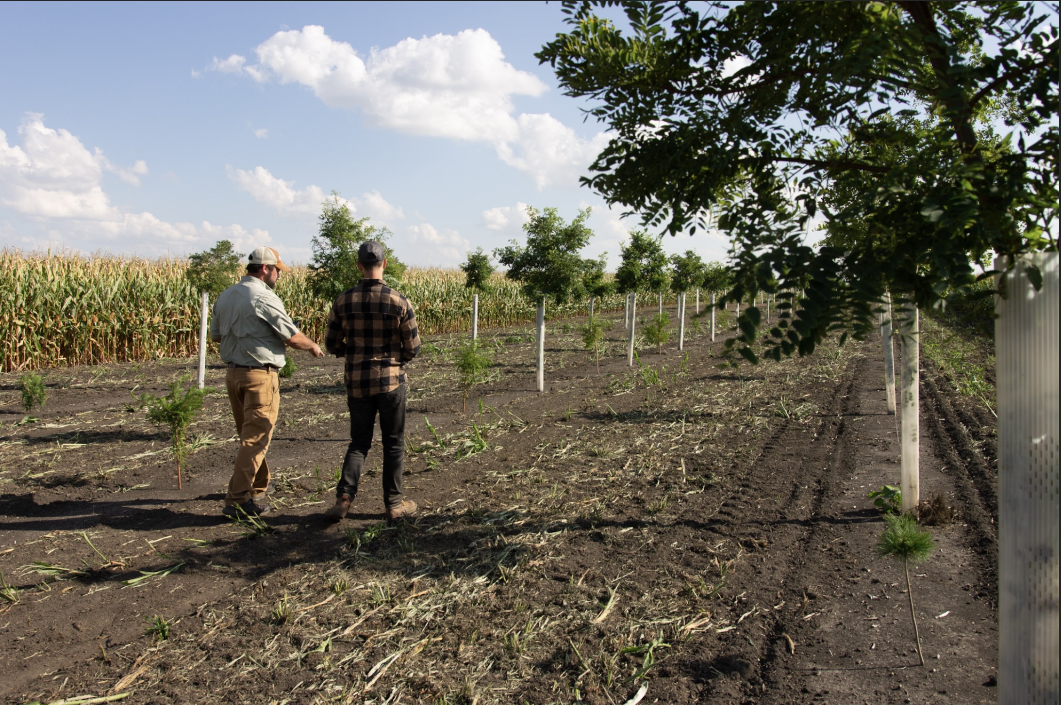
Your farm's second story begins here.

canopy compass

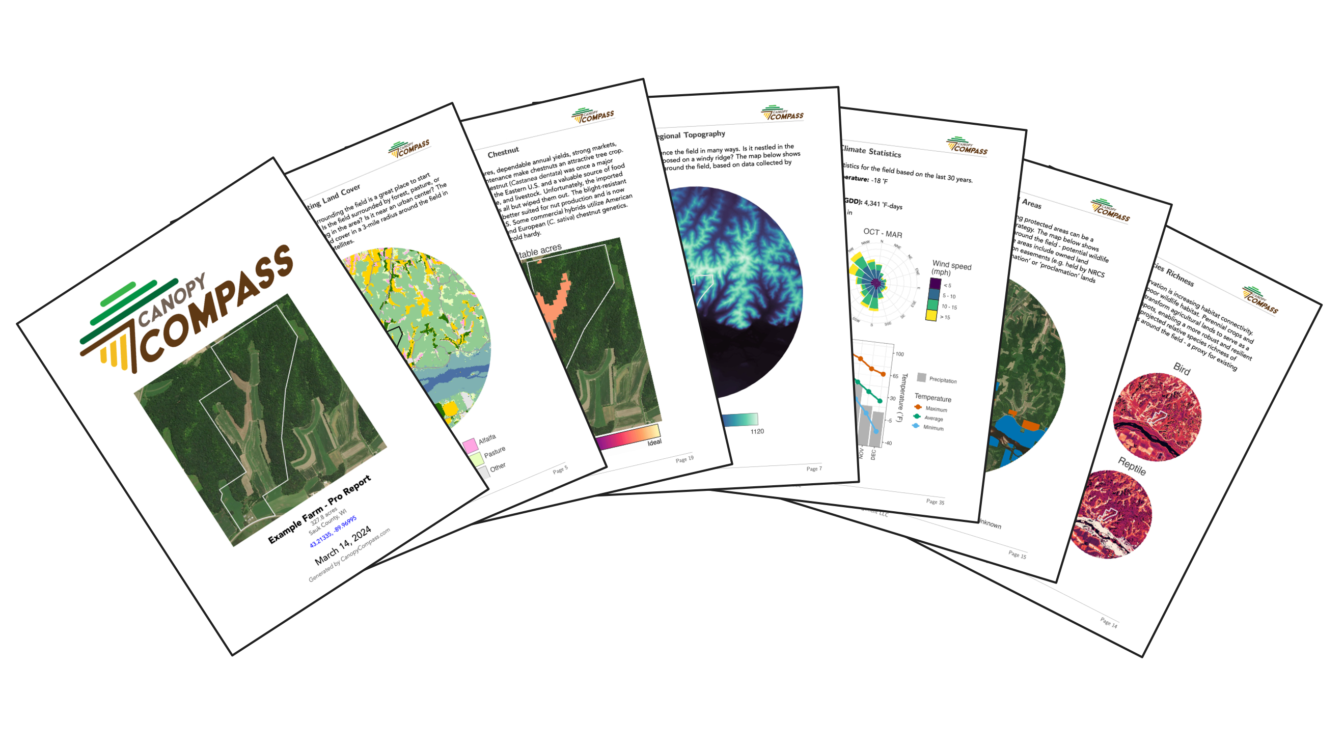
Regenerative agriculture can transform your farm. Many crops and practices are available, but it is difficult to know which will work on your farm.
Canopy Compass helps remove the guesswork, improve outcomes, and avoid pitfalls.

Explore the data

Dozens of high-resolution data layers including soil, climate, land cover, crop suitability, environmental concerns, and agroforestry opportunities.

Explore the data

Map your fields

Draw your fields with a few clicks or upload field boundary files to discover what’s possible for your farm.

Map your fields

Create reports

Compass Reports put full-resolution data at your fingertips and help you analyze complex data to make decisions for your farm.

View example report.

View report pricing.

Create reports

Ask an expert

Ready to dig deeper? Connect with a regional expert to help you interpret your report, evaluate options, validate soil data, and source the best plants. Start with a free intake call today!

Ask an expert

Testimonials

Barbara
Landowner, Grant County, WI

I created a Compass Report for my family's farm, and I'm suuuuper excited to show them all this info. I especially loved the crop suitability maps. This will help us make decisions about what to put where on the farm!

Matt
Farm Consultant, Savanna Institute

I am BLOWN AWAY by how much thought has gone into Canopy Compass! The PDF report is especially impressive. The formatting is easy to understand, and the explanations are helpful. I anticipate this tool being extremely useful in our technical service work for farmers and landowners.

Erin
Event Planner, Iowa County, WI

I am not a farmer, scientist, or anyone who has used mapping tools like this before. Yet Canopy Compass was intuitive, easy to use, attractive, and simple! I had fun just exploring the area we live in. So fun!

FAQ

Who is Canopy Compass for?

Canopy Compass supports:

  • Farmers considering adding regenerative practices to their portfolio
  • Landowners exploring regenerative options for their land
  • Investors scouting fields for an investment in regenerative agriculture
  • Lenders evaluating the risk of a particular crop in a field
  • Consultants and Land Managers gathering information for their clients
Where can I purchase plants for the crops evaluated on the site?

Canopy's in-house nursery is a great place to start. We produce the highest quality genetics across a range of permanent crops. Our bare-root trees and shrubs can be shipped across the US. If we don't grow a particular crop, we will connect you with a trusted partner that does!

Crop Suitability: How are the maps generated?

The crop suitability maps on the Canopy Compass are based on the Savanna Institute's peer-reviewed crop suitability algorithm (Shea & Wolz, in review). In this methodology, data on a crop's soil and climate preferences are first gathered from scientific literature, extension publications, and expert insights. Then, these preferences are used, in conjunction with soil and climate data, to predict how suitable a field is for a given crop.

Your field is divided into zones of common soil and climate traits. For each soil/climate variable, each zone is classified as ideal, suitable, or unsuitable. If any single soil/climate variable is unsuitable in a given zone, that zone is deemed unsuitable as a whole, regardless of the suitability of other variables. The relative proportion of ideal vs. suitable variables in a given zone generates a 'suitability index', which is displayed on the maps. The suitability index should not be interpreted as directly proportional to growth rate or yield.

Crop Suitability: What factors are considered?

The factors considered in the suitability analysis vary across crops. The specific factors considered for each crop are shown on the Compass Report pages titled "Criteria Breakdown". Possible factors considered include:

CLIMATE

  • Minimum winter temperature
  • Maximum summer temperature
  • Precipitation
  • Chilling hours
  • Growing degree days

SOIL

  • Soil depth
  • Water table depth
  • Soil texture
  • Soil drainage
  • Flood frequency
  • Soil pH

On existing agricultural land, precipitation criteria are ignored - we assume that installation of irrigation is feasible if necessary. On non-agricultural land, precipitation criteria are enforced.

Some notable factors that are not considered for any crop include: microclimate effects, future climate change, slope, and management-related variables.

Crop Suitability: What about different varieties, cultivars or genetics?

The Savanna Institute's crop suitability algorithm applied here is intended to be as inclusive as possible. In other words, the analysis asks: 'Can at least one variety of this crop grow here?' As such, this analysis is intended to be a first step in evaluating crop suitability. If this analysis deems an area suitable, we can help identify the best varieties for your field.

Crop Suitability: Will the suitability analysis change over time?

Yes! Many alternative crops are just now developing robust data on soil and climate preferences. We are constantly working to improve our suitability algorithm as new research is published and more data becomes available. As crops are added or updated on Canopy Compass, you can update your Compass Report to include this new information for free.

Is the soil data trustworthy? Did someone take soil samples in my field?

The USDA SSURGO soil database contains information collected by the National Cooperative Soil Survey over more than a century. The data was gathered by USDA scientists who walked over the land, observed the soil, and took many deep cores for laboratory analysis.

While they may not have taken soil cores in your field, they did take soil cores in the same soil types in a similar landscape context nearby.

Soils vary across the landscape in a repeatable pattern influenced by steepness, length, and shape of slopes; the size of streams and the general pattern of drainage; the kinds of native plants or crops; the kinds of rock; and many other characteristics. Using these patterns, in conjunction with the soil cores that were taken, soil scientists can predict soil types and characteristics across the broader landscape. Accurately drawing the soil maps was greatly aided by aerial imagery, initially by planes, and now satellites.

This soil data is evidence-based and robust. Nevertheless, errors and variability do exist. In addition, while many soil traits are stable over time, others can vary with time and under agricultural management.

It is highly recommended to validate this analysis with real soil samples collected from your field, especially prior to making an investment in permanent crops.

Can I update my Compass Report?

Yes! As new crops and other data are added to Canopy Compass, you can update your Compass Report to include this new information for FREE.

About Canopy

Canopy plants and manages tree crops, timber plantings, conservation practices, and integrated agroforestry systems. In addition to our home offices in the Midwest, we are connected to regional experts across the US.

We help farmers and landowners via:

  • Our expert team of agronomists, scientists, and business specialists
  • Thoughtful design using state-of-the-art spatial analysis and mapping
  • Top tree genetics across a range of species, from our in-house nursery
  • Precision tree establishment enabling trees to survive and thrive
  • A mobile equipment fleet, custom-engineered for precision management
  • Opportunity and impact mapping at any scale across the US

Learn more about Canopy at: CanopyFM.com

About the Savanna Institute

The Savanna Institute is a 501(c)(3) nonprofit organization that works with farmers and scientists to lay the groundwork for widespread agroforestry adoption. The Savanna Institute conducts research, education, and outreach to support the growth of diverse, perennial agroecosystems.

The crop suitability maps on the Canopy Compass are based on the Savanna Institute's peer-reviewed crop suitability algorithm (Shea & Wolz, in review).

Learn more about the Savanna Institute at: SavannaInstitute.org